One Year Ago Today, Iowa Nearly Blown Away by “Inland Hurricane”
A year ago, many people did not know what a derecho was. But, after what happened to much of Iowa on that day, the idea of an inland hurricane was very real.
It's probably necessary to really define what a derecho is before remembering exactly what transpired last year. I'll defer to Wikipedia:
A derecho (/dəˈreɪtʃoʊ/, from Spanish: derecho[deˈɾetʃo], "straight" as in direction) is a widespread, long-lived, straight-line wind storm that is associated with a fast-moving group of severe thunderstorms known as a mesoscale convective system.[1]
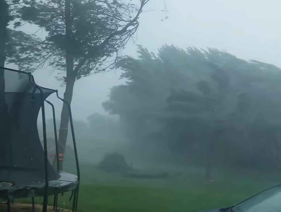
It began early in the afternoon of August 10, 2020. The National Weather Service has documented what happened in Iowa that day in great detail including a link to the Storymaps timeline of when the trouble started. Between 10am and noon, the winds were becoming devastating as many videos show.
Once the storm reached its peak, the measured wind gusts were almost beyond belief.
Hurricane winds are defined as sustained winds 74 mph and over. The storm that afternoon easily qualified by that measure with top wind speeds being clocked at over 130 mph in parts of Cedar Rapids. That's why you'll hear many in Iowa refer to the inland hurricane they lived through that day.
When it was all said and done, the thunderstorm was the costliest in US history with a reported $7.5 billion in damage as documented by the Washington Post.
My family spent some time in the Cedar Rapids area earlier this year and we found it hard to believe how many trees that area had lost. There were still some evidence of ongoing cleanup efforts more than a half a year later.
LOOK: The most expensive weather and climate disasters in recent decades
TIPS: Here's how you can prepare for power outages
More From 100.9 The Eagle, The Tri-States' Classic Rock Station


