USGS Map Shows Why Illinois is Having Earthquakes in Weird Places
I've learned over the years that some of the weirdest events have a reason for happening if you're willing to dig deep enough to figure out why. That's true for a series of recent earthquakes in Illinois that seemed to happen in unexpected places. There's a USGS map which shows it's not weird at all.

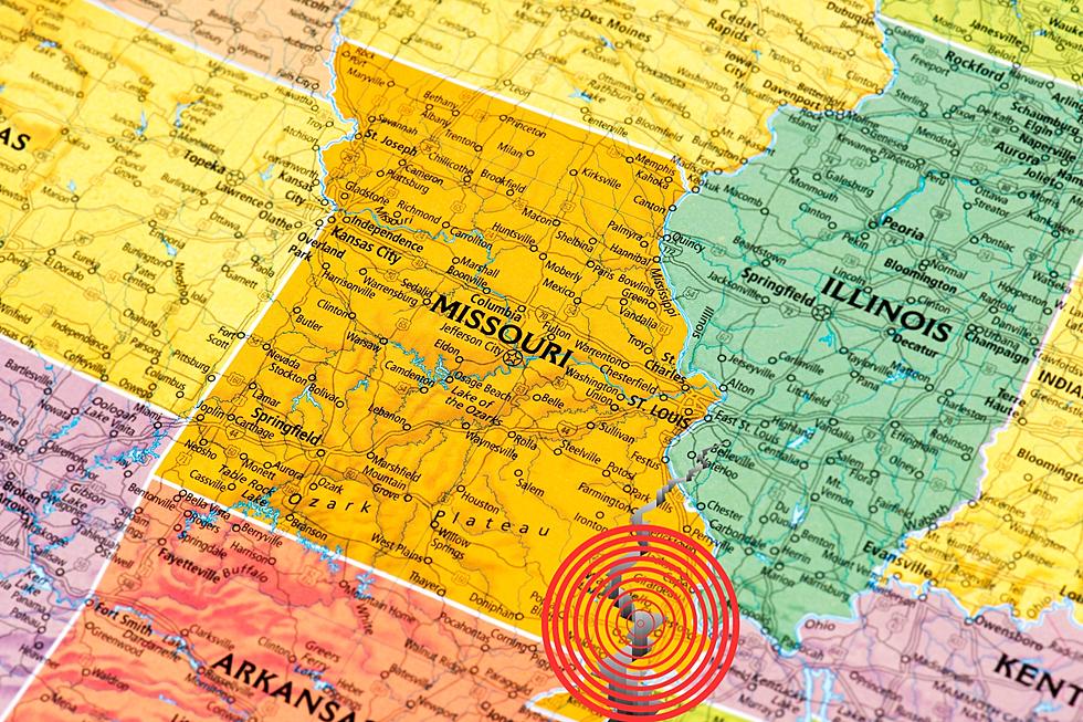
About a week ago, I shared an earthquake in Illinois that happened right in the middle of the state where quakes are not that common. I realized it wasn't all that strange from a graphic that was just shared on the Missouri sub-Reddit. It shows that the New Madrid Fault (which is obviously well-known) is almost bumping elbows (if earthquakes had bodies) with another prominent fault system in Illinois.
Map of New Madrid and Wabash seizmic zones
byu/como365 inmissouri
That graphic was created by Joan Gomberg and Eugene Schweig of the USGS and looks like this if you can't see the post from Reddit on your device.
As the USGS map shows, while earthquakes are much more frequent on the New Madrid seismic zone, the Wabash Valley seismic zone is plenty active, too. It's been the source of more than a few major quakes including a 5.4 in 1968 and a 5.2 in 2008. It was also the culprit behind the relatively small quake in the middle of Illinois last week, too.
There is a belief shared on Wikipedia asserting that energy from the New Madrid fault might be moving to the Wabash Valley seismic zone which could mean we'll see more Illinois earthquakes in the future than we're used to.
75 Years Ago, Monster Tornado Destroys 80% of Small Illinois Town
Gallery Credit: Ancient Air Theatre via YouTube
More From 100.9 The Eagle, The Tri-States' Classic Rock Station

