Missouri & Illinois in Danger Zone for Fast-Moving Storms Friday
Plan on very changeable and possibly severe thunderstorms on Friday as both Missouri and Illinois are in the danger zone for what is expected to be a fast-moving system capable of producing tornadoes and severe wind events.

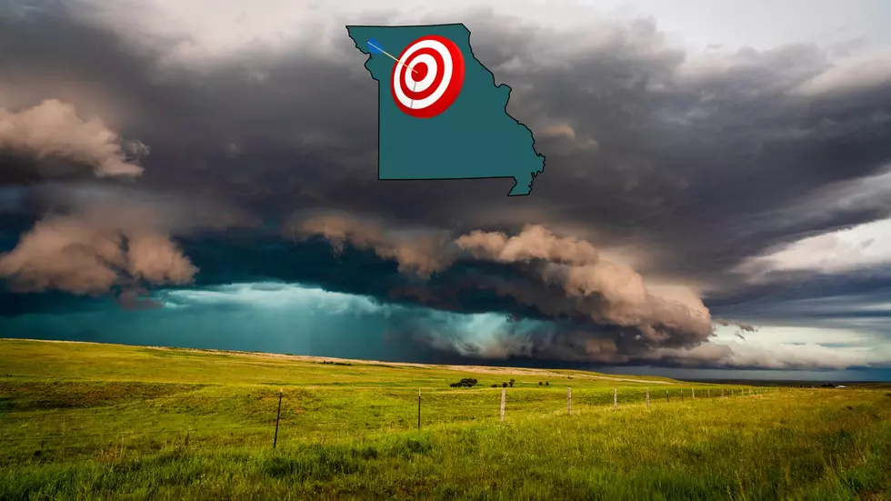
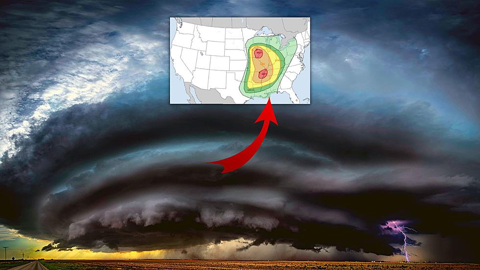
As I shared earlier this week, many storm chasers are gathering in parts of Missouri and Illinois in preparation for predicted severe weather in the Midwest. The NOAA Storm Prediction Center now has more confidence that the immediate Hannibal, Missouri/Quincy, Illinois area will be a part of the area that is likely to see severe storms of some type. This is the most up-to-date map showing the highest probability areas.
Here's what the National Weather Service out of St. Louis is saying about the storms and what to expect Friday in regards to timing.
Here are some things to watch Friday morning as these storms develop and move through the area.
1. If there is sufficient rain Friday morning, that might lessen the severity of storms later, but will not eliminate the possibility of severe weather.
2. The area of moderate risk which now sits just north and south of the immediate Hannibal/Quincy area may move and/or expand depending on conditions early Friday.
3. Conditions will likely be ripe for storms with big rotation which amplifies the danger of any storms that become reality.
4. Wind will pick up overnight and it will be windy prior to storms developing. Expectations are that some storms may be moving at 60 mph or faster.
Make sure to check the St. Louis National Weather Service site early Friday for the most up-to-date predictions and expectations for what might be a wild weather day.
LOOK: The most expensive weather and climate disasters in recent decades
More From 100.9 The Eagle, The Tri-States' Classic Rock Station


