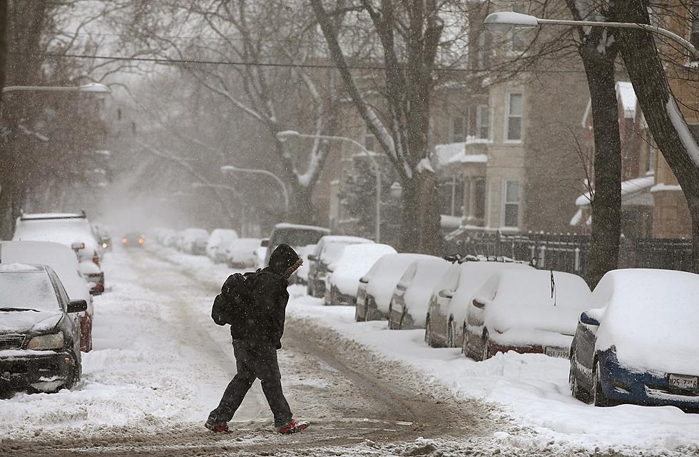
Sleet, Freezing Rain in the Area, Snow On the Way Thursday PM
Although the precipitation totals forecast for this latest winter storm don't compare to the last two, caution is still advised as you travel Thursday afternoon and evening.

The National Weather Service has now posted Winter Weather Advisories for everybody in Northeast Missouri and Western Illinois from noon Thursday through early Friday morning.
The worst of the winter weather appears headed for Pike County, Illinois and Monroe, Ralls, Pike and Audrain counties in Missouri, with forecasters calling for up to two inches of snow, about a quarter of an inch of sleet and a light glaze of ice.
Adams and Brown counties in Illinois and Knox, Shelby, Lewis and Marion counties in Missouri are now slated to get a light glaze of ice, followed by up to two inches of snow.
And, Hancock County, Illinois and Clark County, Missouri are also looking for freezing drizzle and sleet, along with 1 to 3 inches of snow.
Although there is nothing on radar at mid-morning, reports are that mixed precipitation is creating problems in the area, with area schools dismissing early.
The hourly forecasts call for the snow to get here in the early afternoon and continue until about 10 p.m.
As always, you can keep caught up on road conditions by going to MODOT's Traveler's Information Map or to IDOT's Getting Around Illinois website.
Midwest Survival Condos in Old Nuclear Missile Silos
Gallery Credit: Zillow via YouTube
RANKED: Here are the most popular national parks
Gallery Credit: Hannah Lang
More From 100.9 The Eagle, The Tri-States' Classic Rock Station